Maps by Sasha Trubetskoy: where the Roman Empire meets the underground
17 July 2017
Text
Elise Morton
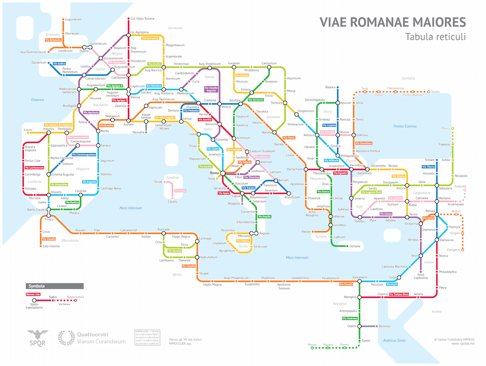
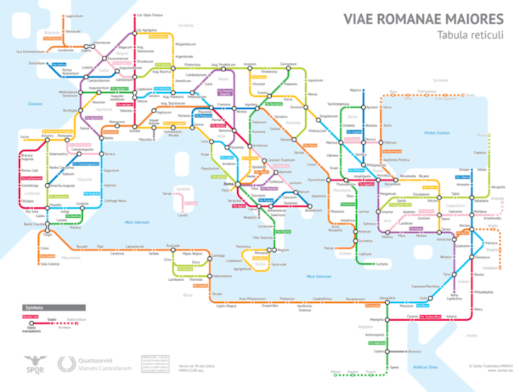
Russian-born statistics student Sasha Trubetskoy is a self-proclaimed “geography and data nerd”, a passion he puts to use creating innovative, engrossing maps that make statistics come alive. In one of his latest projects, Trubetskoy has turned the Roman Empire’s ancient road system into a subway map.
The University of Chicago student recasts the Roman road system, based on the Empire circa 125 AD, as a subway-style map — complete with familiar coloured lines and hectic connection points. The map includes authentically named roads, along with routes that do not have known historic names. Trubetskoy notes that he had to get a little creative for these roads, inventing names for the purpose of the graphic.
Trubetskoy has created a number of fascinating and informative graphics to represent statistics and trends pertinent to the New East, including maps depicting the biggest Soviet-era cities and the urban growth of Moscow.
See Trubetskoy’s Roman roads map in greater detail here, and check out more of his work here.